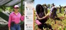
Learning takes flight: Using drones to teach agriculture
In November, EARTH University unveiled a special, four-day course for the public on the preparation, configuration and handling of drones for remote detection and data analysis.
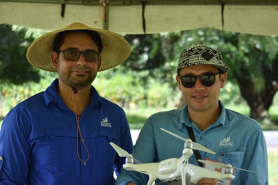
Víctor Morales and Carlomagno Soto are the two EARTH University professors who offered the course.
The new course aims to showcase the application of remote sensors in different areas, while exploring their diverse uses and those of unmanned aerial vehicles (i.e., drones). It was the first time that a public class on this subject was offered by the University.
Víctor Morales, one of the EARTH professors who taught the course, said, “The point we wanted to emphasize was that unmanned aerial vehicles are important tools in remote detection. They work as a platform for the remote sensors. The idea to create this course arose from the introduction of these subjects in our general academic program at EARTH. That is, in part, thanks to the help of the Geomatics and Remote Detection Unit, which began this year.”
In 2018, Morales and Carlomagno Soto, the other EARTH professor overseeing the course, plan to introduce a semi-virtual version, with one part online and the other on-campus. Both believe that designing an integrated course will be beneficial to the participants, as it will allow them to work both autonomously and guided.
“[The course] met our expectations. With what we learned from this first effort and the feedback form the participants, we think we’ll be able to continue improving it and bringing new elements to it,” Morales added.