Partnerships yield agricultural and student development
Faculty and students use new technologies to facilitate and improve processes.
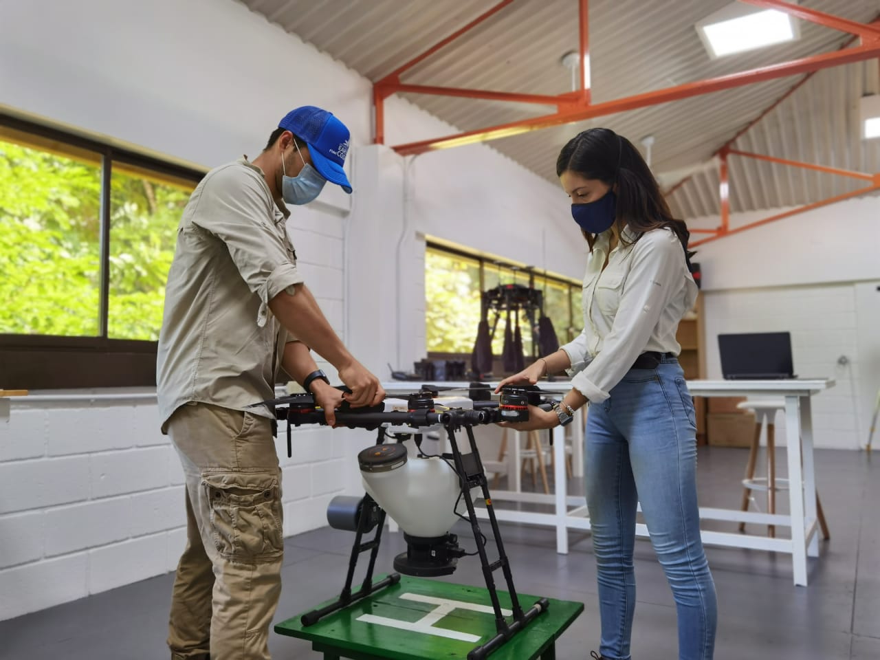
EARTH University continually updates its educational curriculum, teaching tools, and academic spaces to remain at the leading edge of technological advancement and best practices in the field of agriculture. EARTH’s Center for Geomatics and Remote Detection (“CGDR”, for its initials in Spanish) was created to strengthen students’ knowledge of agrotechnology and remote detection, which enable precision agriculture and precision forestry.
Plans for CGDR were set in motion in 2015 by professors Víctor Hugo Morales Peña (tropical forestry) and Carlomagno Soto (spatial-information management). Since gaining the support of the Katherine John Murphy Foundation in 2017, CGDR has trained more than 500 students in the use of high-tech equipment, as well as data analysis and geostatistics.

Professors Carlomagno Soto y Victor Hugo Morales Peña.
“The Center for Geomatics and Remote Detection teaches students how to use sensors and drones in the field, to understand information from weather stations, and to generate maps with georeferenced information,” says Morales, who also coordinates CGDR. “We are mentoring the fourth-year student leaders who, in turn, facilitate the learning processes for the first- and second-year students stationed in the forest for their work experience course. Additionally, we are serving as advisers on the Graduation Projects of students who wish to use these platforms to obtain data for their research – and we are developing innovative projects with private companies.”
Applied technology in the field
Thanks to CGDR’s many productive partnerships, digital diagnostic tools are being used to analyze and communicate information that improves agricultural decision making.
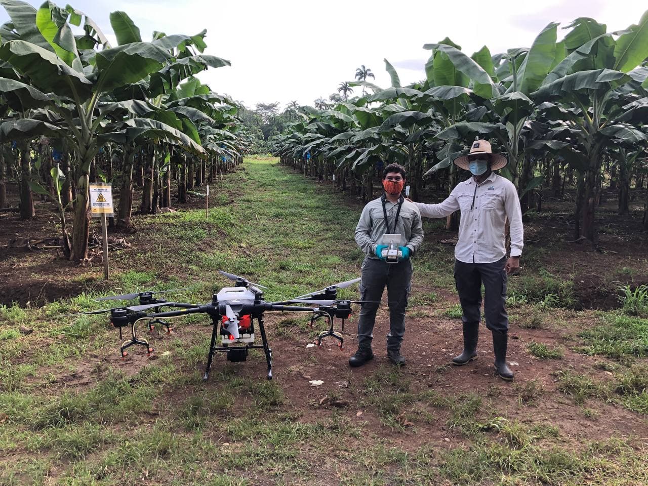
Emir and professor Victor Hugo.
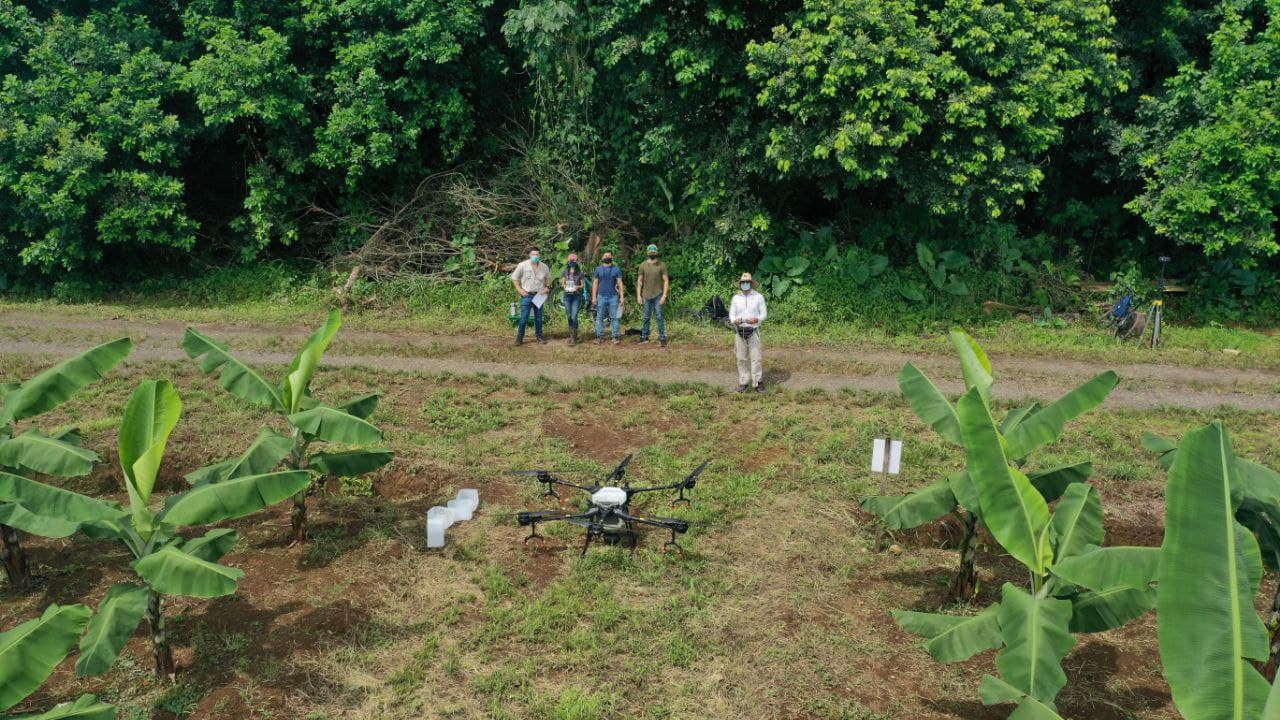
CGDR partnered with Agricenter Life-Rid to investigate viable alternatives to the toxic fungicide Mancozeb, which is used worldwide to control the Black Sigatoka disease that has been ravaging banana crops. The partnership is providing support to Emir Gian Majil (’21, Belize) as he carries out his Sigatoka-focused Graduation Project under the guidance of a multidisciplinary team of experts, including Humberto Leblanc (banana cultivation), Luis Benavides (disease characterization), Dennis Závala (fumigation), and Morales (unmanned aerial spraying systems).
“To address this industry need, we are working together EARTH-CGDR and AMVAC LATAM/AgriCenter, evaluating projects with the use of biorational fungicides applied with spraying drones, the latter as an important technological component that will improve the implementation and development of projects with students.” Luis Fernando Benavidez, LIFE-RID Crop Protection Researcher.
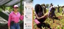
Students at the Center for Geomatics and Remote Sensing.
Likewise, a partnership with DISAGRO’s AgritecGEO platform – which uses data analysis to boost agricultural productivity – has already improved commercial operations of EARTH’s banana farms and opened opportunities for data-rich research and lecture presentations on geomatics and remote detection, banana and coffee cultivation, plant physiology and nutrition, and soil science.
“We are also setting up a corn-fertilization trial that will eventually become part of the research for a Graduation Project that compares fertilizers,” says José Eduardo Villalobos, professor of tropical soil science and conservation. “Prof. Johan Perret and I are shaping a new elective course – about precision agriculture – that will begin next year and feature the participation of DISAGRO’s experts.”
Partnerships like these enable our students and faculty to deepen their research and widen their access to the newest technologies.